PRODUCTS
Featured products
Contact us
Product Introduction
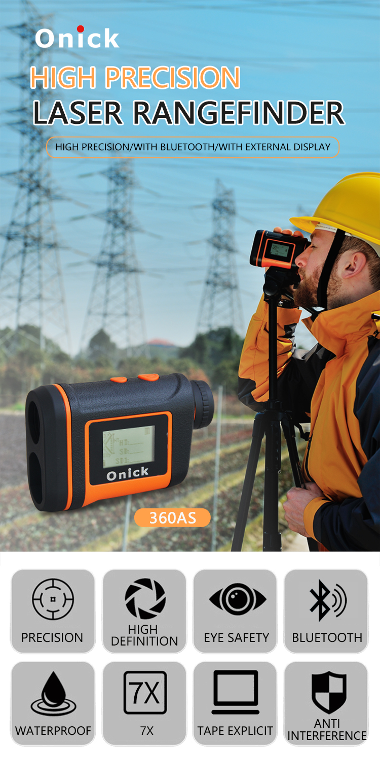
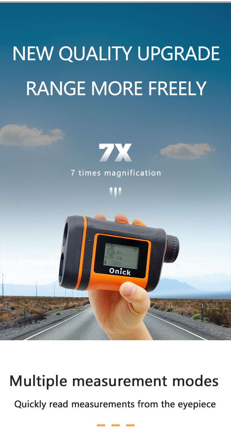
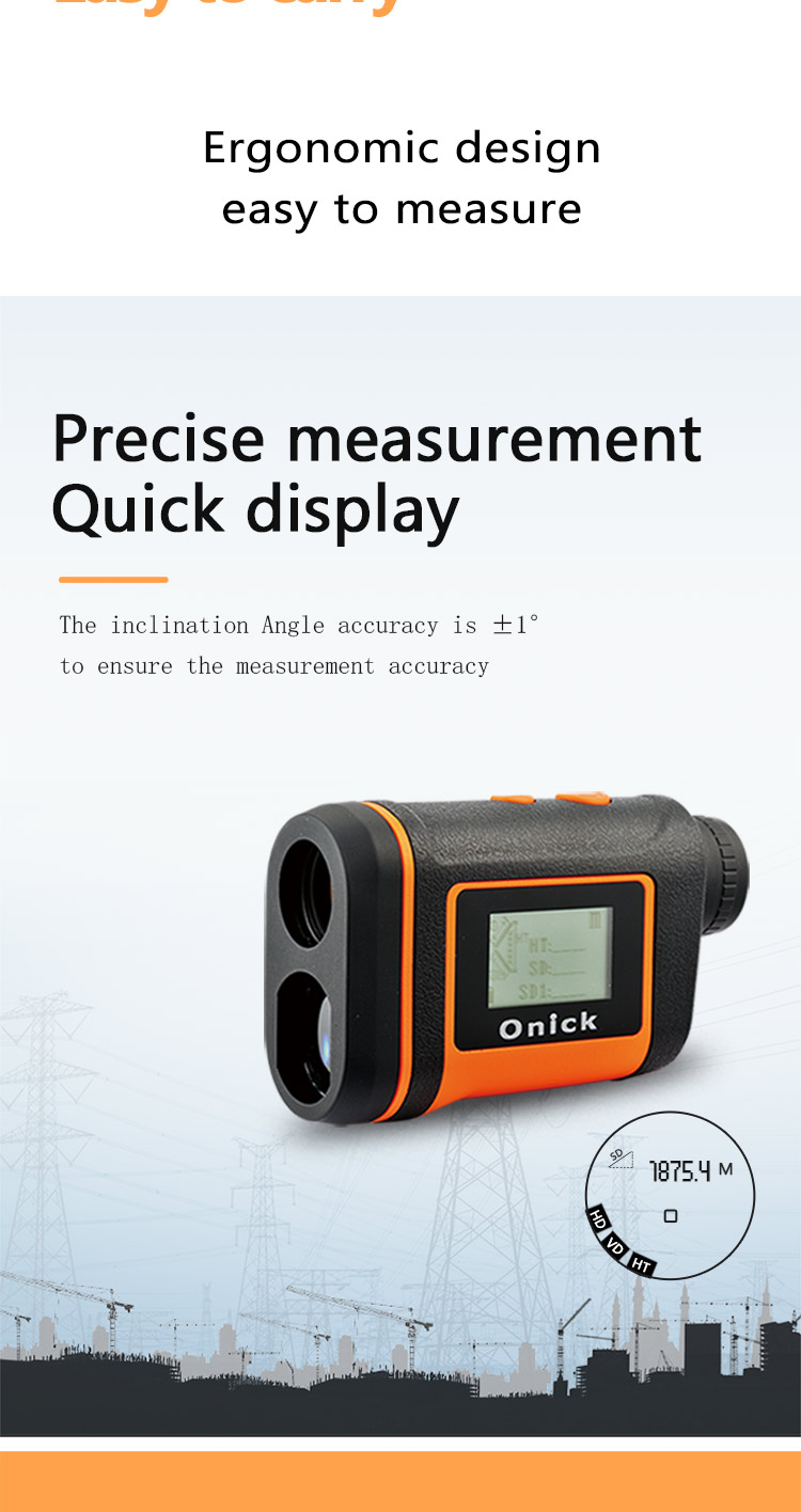
Total station anti-shake rangefinder with multiple measurement functions For perfectionists who have high requirements for the appearance of laser rangefinders, Onick Optics has injected a fashionable ergonomic design while ensuring the excellent use of the product. It is compact, lightweight, innovative lens coating, and high transmittance, making the observation effect clearer. Onick has perfectly launched the total station rangefinder 360AS for distance, height, angle, and span measurement. It has a blind area of 0 meters and a measurement accuracy of 0.2m. It has a measurement vibration reminder function.
Onick Onick360AS integrates an electronic compass, which upgrades the instrument to a simple total station. It is convenient for forestry resource inventory, transmission line inspection, and field data collection and use in the preliminary survey and design of various projects.
Product Features:
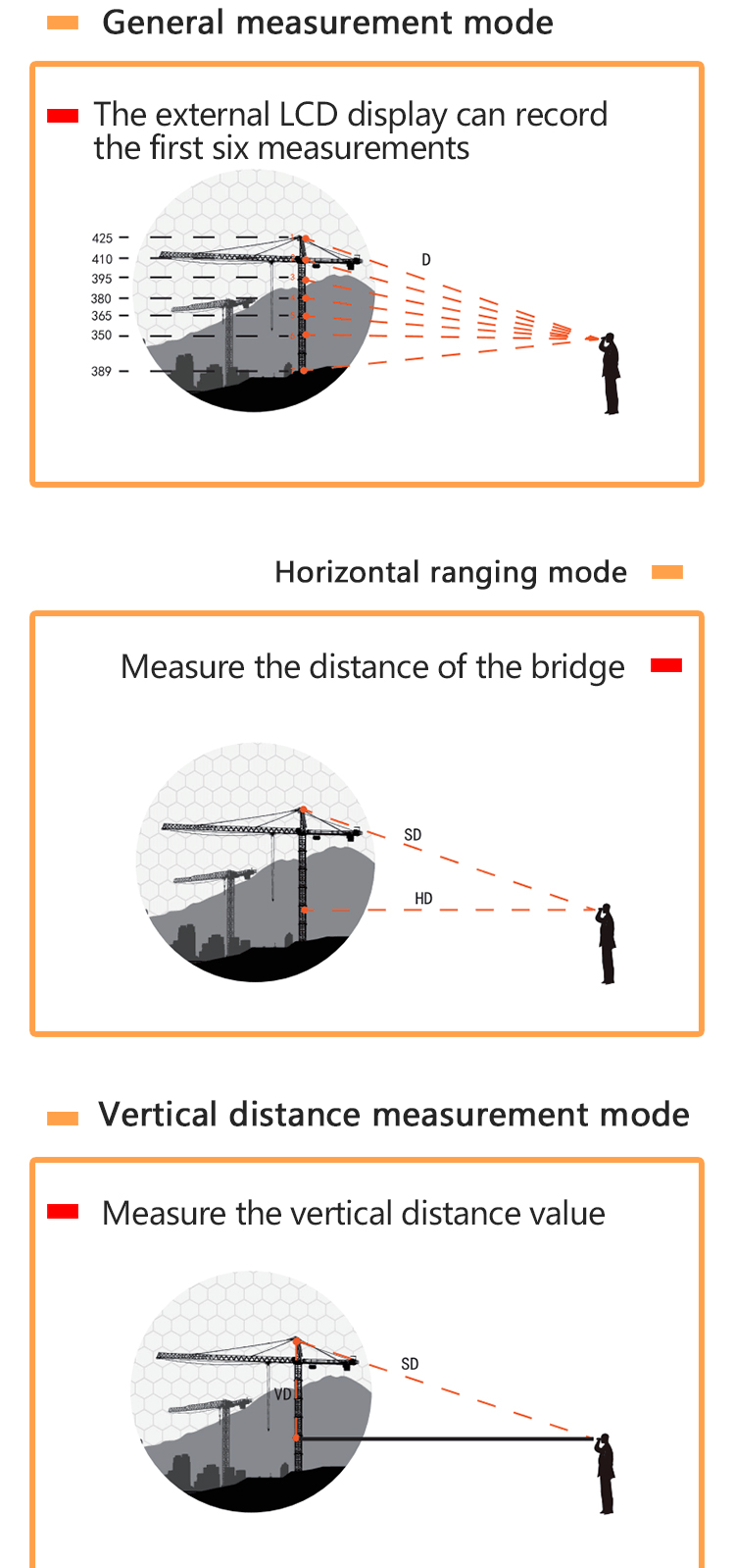
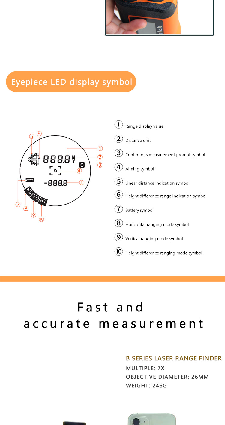
1. Distance measurement (horizontal distance, vertical distance, slant distance)
2. Tilt angle measurement (inclination and slope measurement)
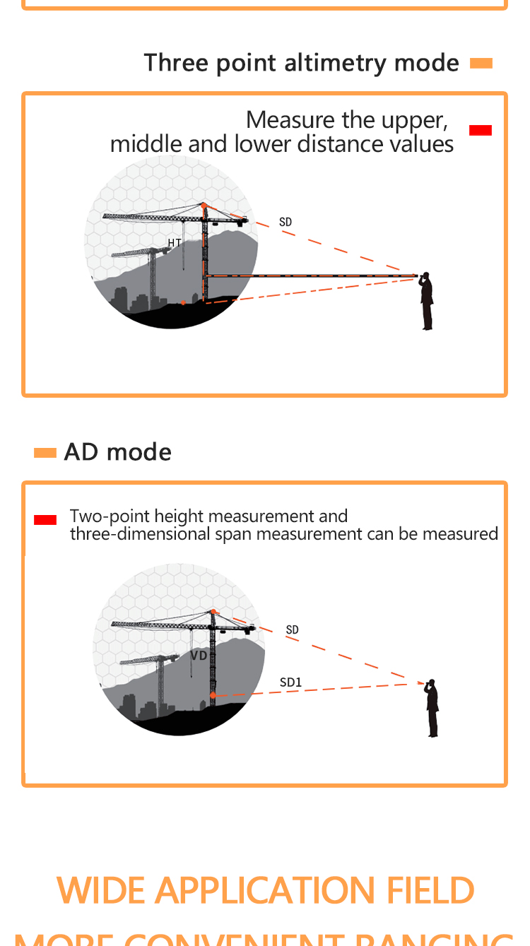
3. Azimuth measurement, compensation measurement (three-point height measurement)
4. Span measurement between any two points in space
5. RS232 serial data transmission or Bluetooth
6. Closest, farthest, multi-target continuous measurement mode
onick360AS can use RS232 interface to transmit measurement data to PPC, data logger, GPS receiver and other mobile devices. Optional Bluetooth function, easy to achieve real-time wireless data transmission. Can cooperate with GPS receiver to measure eccentricity and output the collected data to GPS in real time.
Application Areas:
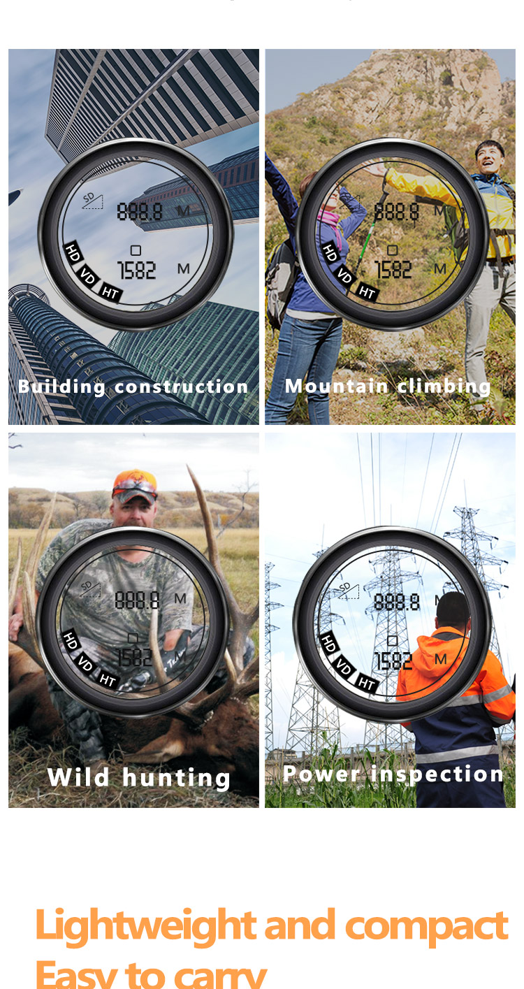
Power line selection survey and design, power safety inspection, forestry investigation, security and police, geological exploration, field hunting, railway construction measurement, installation measurement, high-rise building monitoring, high-speed rail passenger line track construction, water conservancy and hydropower measurement, water conservancy river survey, oil pipeline, archaeological research, mining measurement, railway line selection, land and resources survey, etc.
Technical Parameter
| Product Model | Onick 360AS |
| Measurement Range | 0m-2000m |
| Measurement Accuracy | ±0.2m(≤300m) 1m(>300m) |
| Ranging Display | Built-in and external LCD display |
| Magnification | 7X |
| Objective Aperture | 26mm |
| Receiving Diameter | 32x26mm |
| Exit Pupil Diameter | φ3.7mm |
| Field of View | 6° |
| Exit Pupil Distance | 18.8mm |
| Inclination Angle measurement Range | ±90° |
| Operating Temperature | -20ºC~+40ºC |
| Laser Eye Safety | YES |
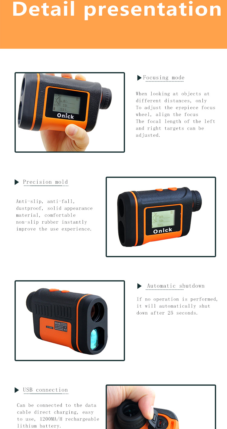
| Focusing Mode | Eyepiece focusing |
| Anti-shake Success | Vibration reminder |
| Class of Protection | IPX4 |
| Bluetooth Serial Port | √By connecting to the APP |
| Area Survey | √Circle and rectangle |
| GPS | √Display coordinates latitude and longitude |
| Azimuth Angle | √ |
| Measure the span at any two points | √ |
| External Display | √ |
| Data Storage | Seven groups |
| Rechargeable | Yes, charging tips |
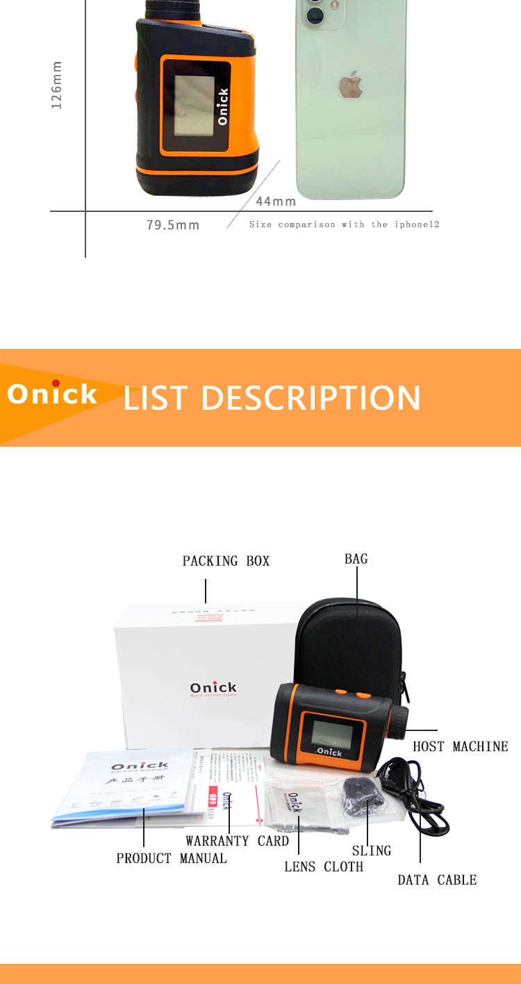
| Product Size | 126*79.5*44mm |
| Net Weight | 246g |
| Tripod | Support |
| Electric Source | Built-in 1200MA/H rechargeable lithium battery |
| Packing List | Range finder, portable bag, USB charging cable, lanyard, Mirror cloth, manual, product manual warranty card, color box |
